
Boreas pass is a rustic road up and over the mountains between Como and Breckenridge, Colorado. Originally a rail route, it has lots of rail history, wonderful views, and is relatively devoid of the hustle and bustle of Denver.
The route
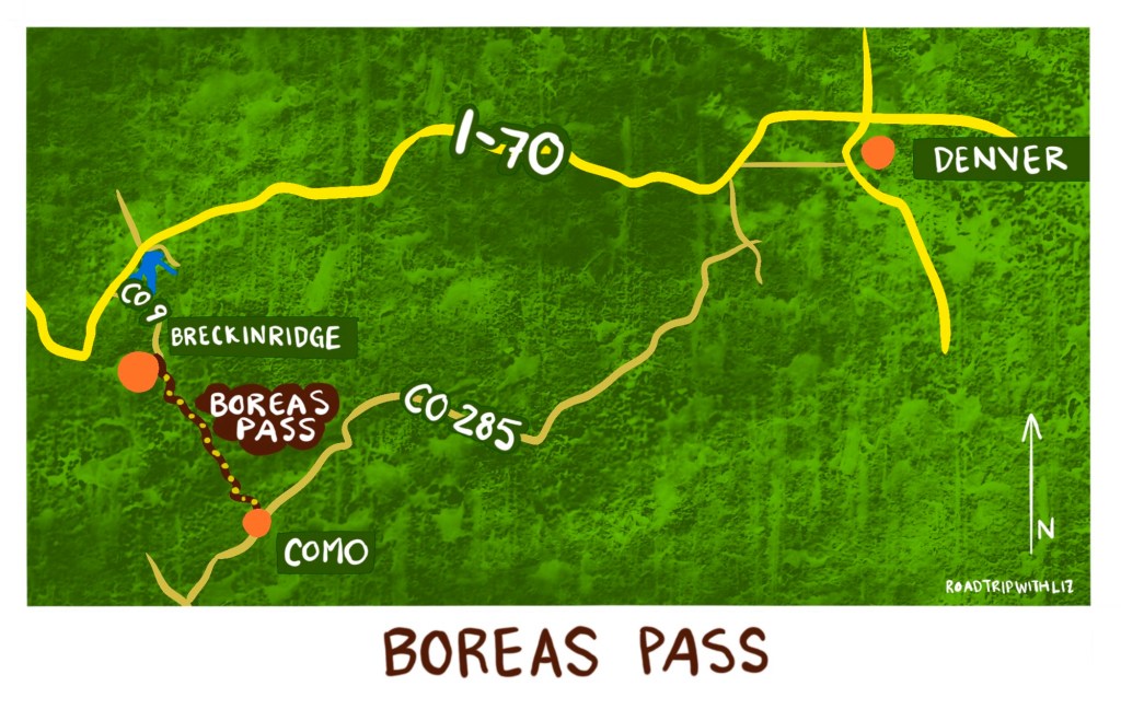
Going south to north, boreas pass can be accessed by taking CO 287 out of Denver for about 1.5 hours until you exit the highway for the town of Como. Once in Como there are several historic buildings to explore before continuing through town to begin the Boreas Pass route.
Road conditions

The route out of Como is gravel/dirt all the way to Breckenridge (about 20 miles). It took me about 2 hours to complete the trip from when I pulled off in Como the when I parked in downtown Breck. That includes some time for exploring the historic sites along the way.
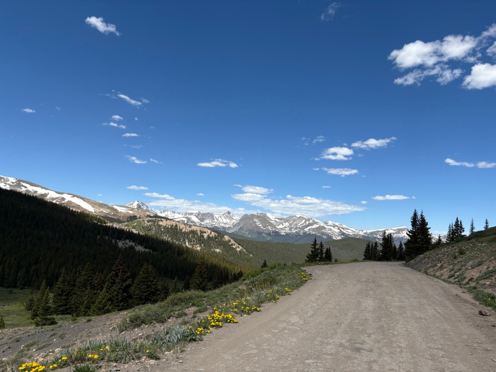
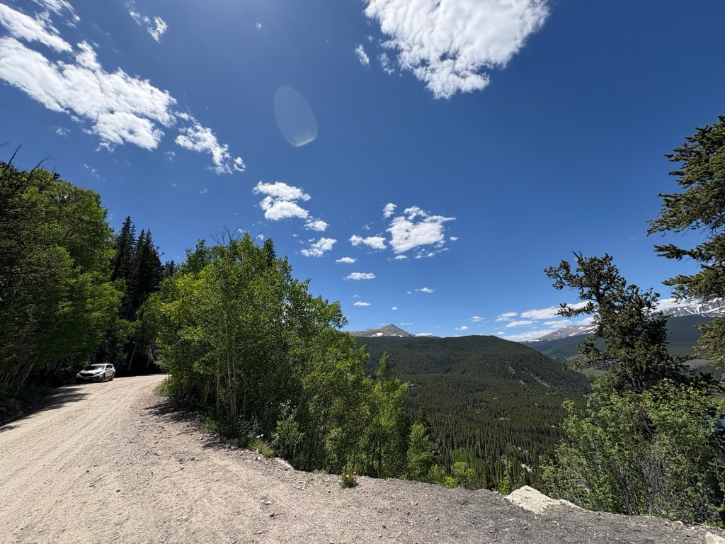
The first few miles of the route are steep and narrow, and not likely to be fun in muddy conditions. The remainder of the route varies from well- graded smooth gravel road to gravel road with significant potholes and bumps that require some evasive driving maneuvers. It is occasionally very narrow and requires negotiating with oncoming drivers, and some parts have extreme drop offs that might make the heights-wary uncomfortable.
Because the road is not paved, it’s a really good idea to check weather, snow pack, and road conditions before heading out. Typical road conditions:


Logistics tips
- Not advised in winter
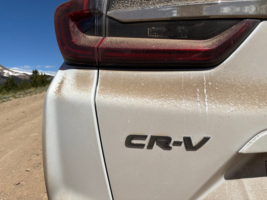
- In the summer it’s very dusty
- I drove it in a slightly elevated profile vehicle (a small suv). You don’t need a hummer but might risk bottoming out on some of the potholes and bumps in a lower, heavier vehicle.
- There are zero restrooms or water along the 20 mile trek
- Ditto for any other services, so be prepared with enough fuel and other necessities
- There are forest service campsites for rent along the way in certain sections
Things to see

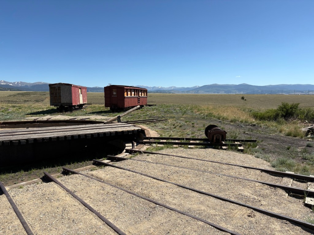
Railroad history
This route was originally constructed as a railroad route in the 1800s, and operated until 1937. In the 1950s the rail bed was converted to an automobile route.
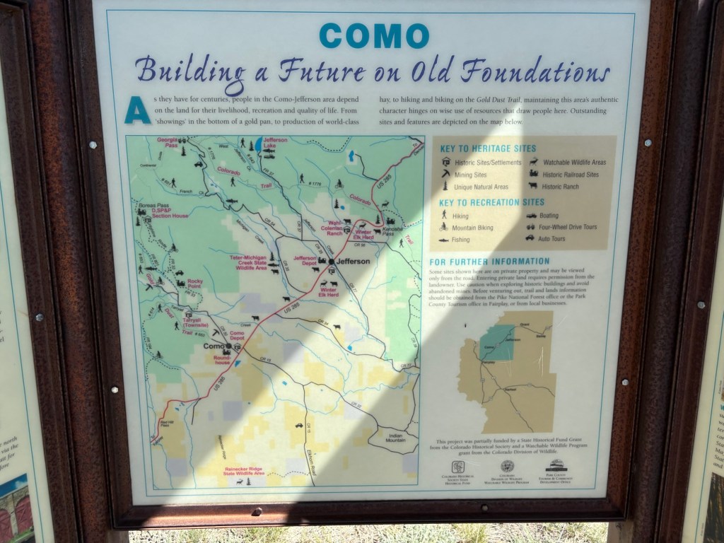
There is a self-guided tour along the route in the form of 12 markers that correspond to this historic info brochure from the forest service:
In addition, you’ll find interpretive signs and restored historic structures along the way. Most points of interest have adjacent small parking areas so you can get out and explore.


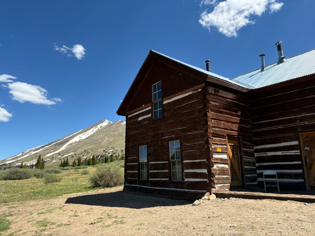

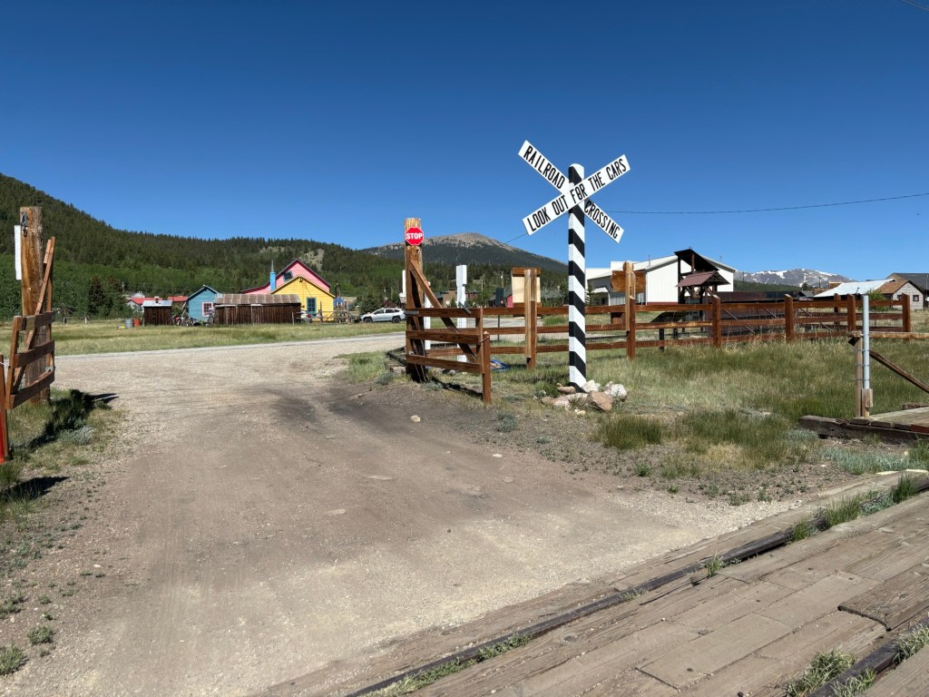
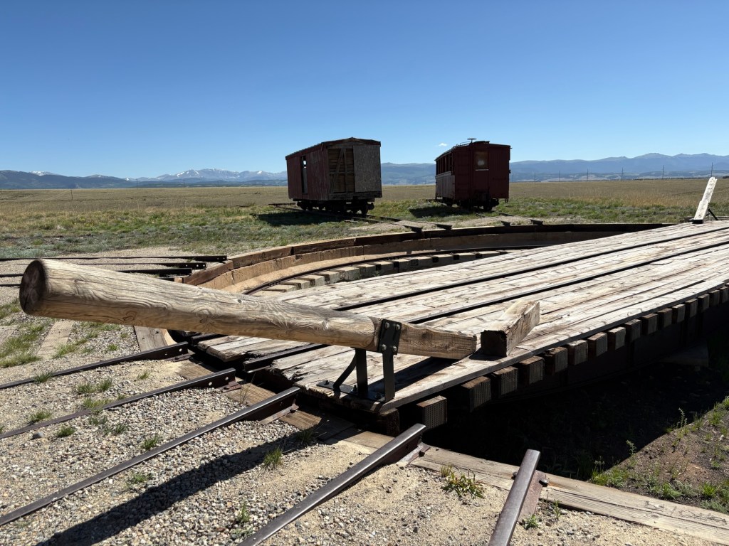
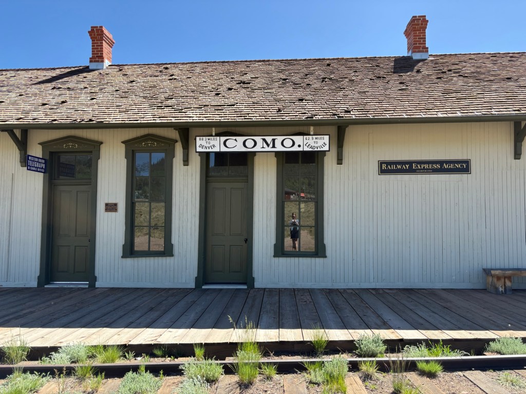
Como
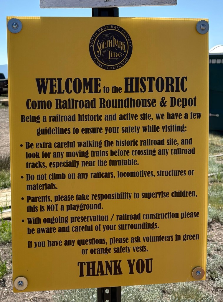
Como in particular has several cool historic sites including the large rail roundhouse and train depot. Although the town is very small now, it was a major stopover point for passengers on the rail route from Denver.
The roundhouse is maintained by a crew of volunteers who were on site this day preparing for an open house.


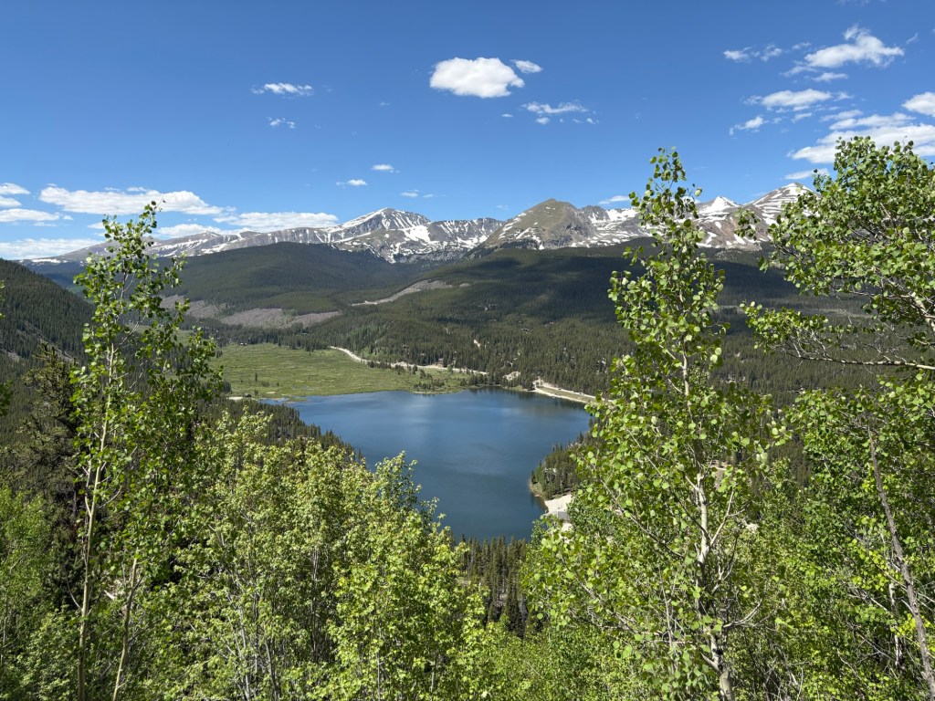
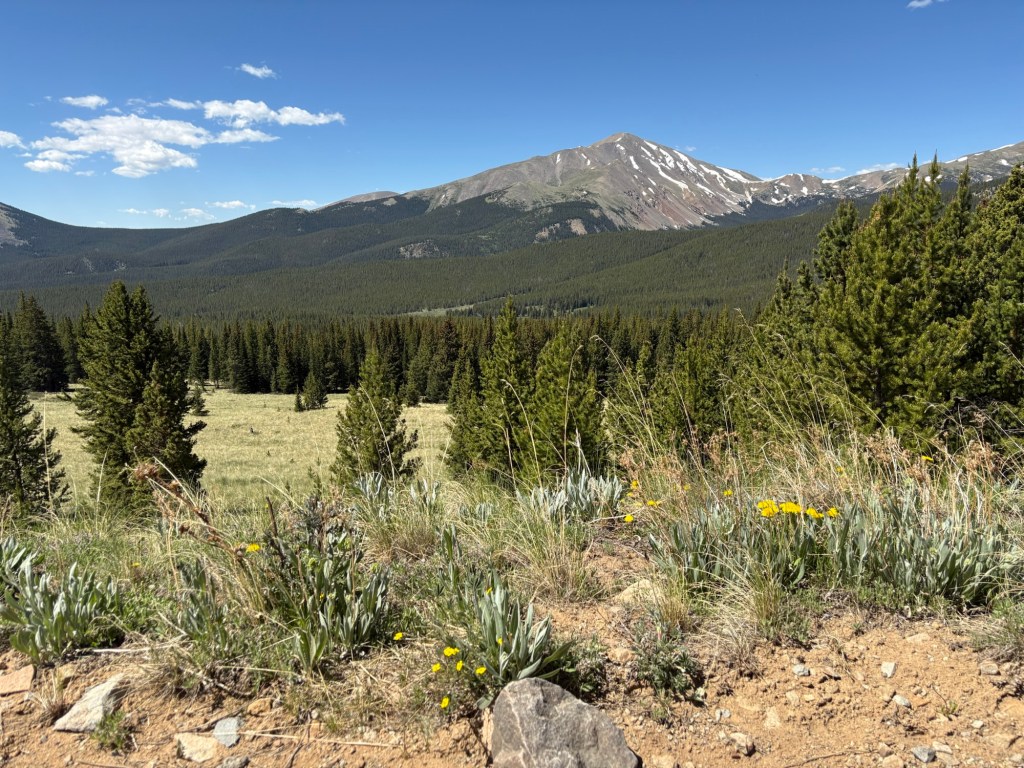
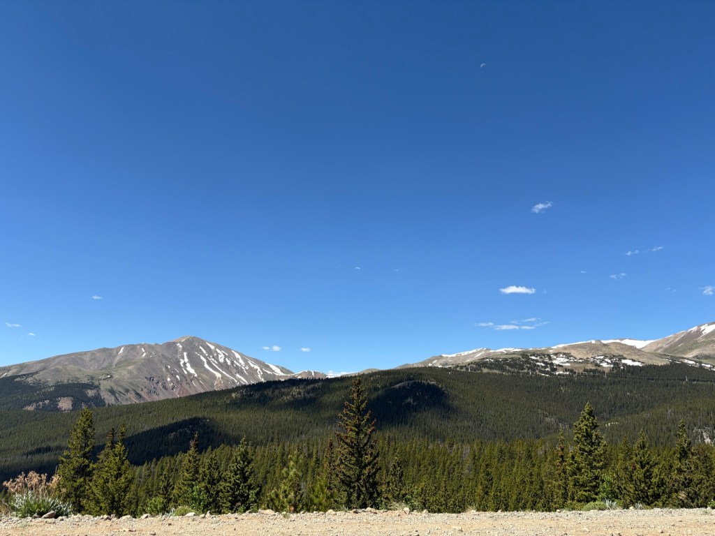
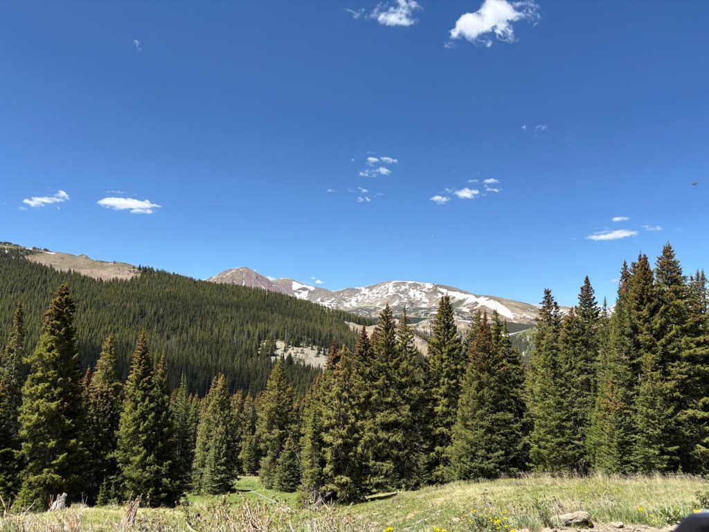
Scenery
The drive offers lots of opportunities for trees, mountains, lakes, and more scenery.


Leaf peeping
I have been on this route in the fall as well, before the roads get snowy and wet. It is lined with color-changing golden aspens if your timing is right. I don’t remember it being particularly busy.

